
grid-lines

위치 추적

실시간 위치 추적으로 경계 없는 플릿을 구축하세요.
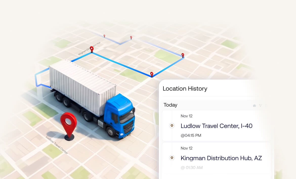
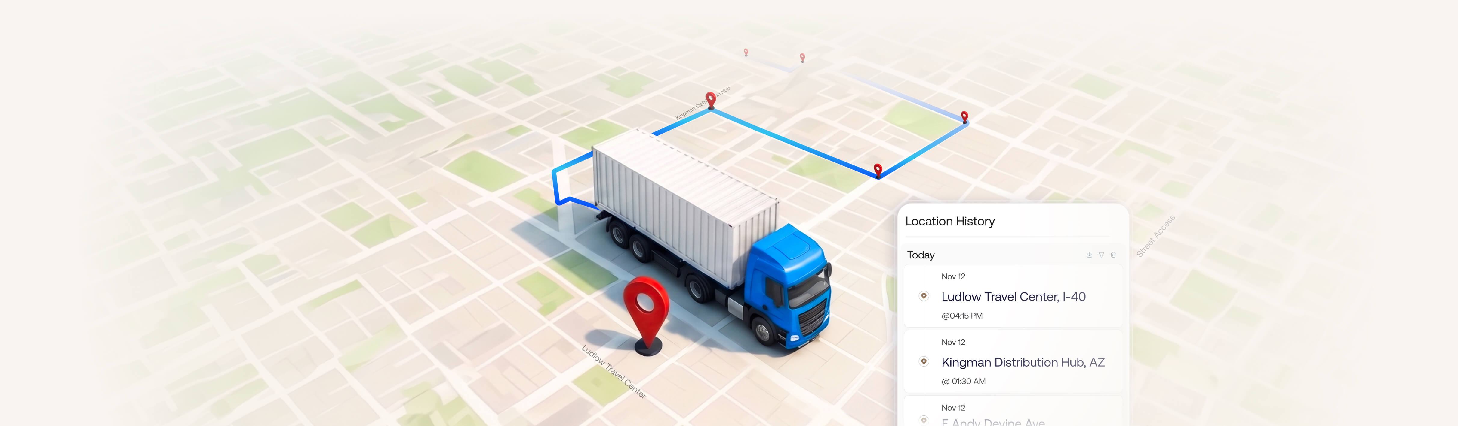
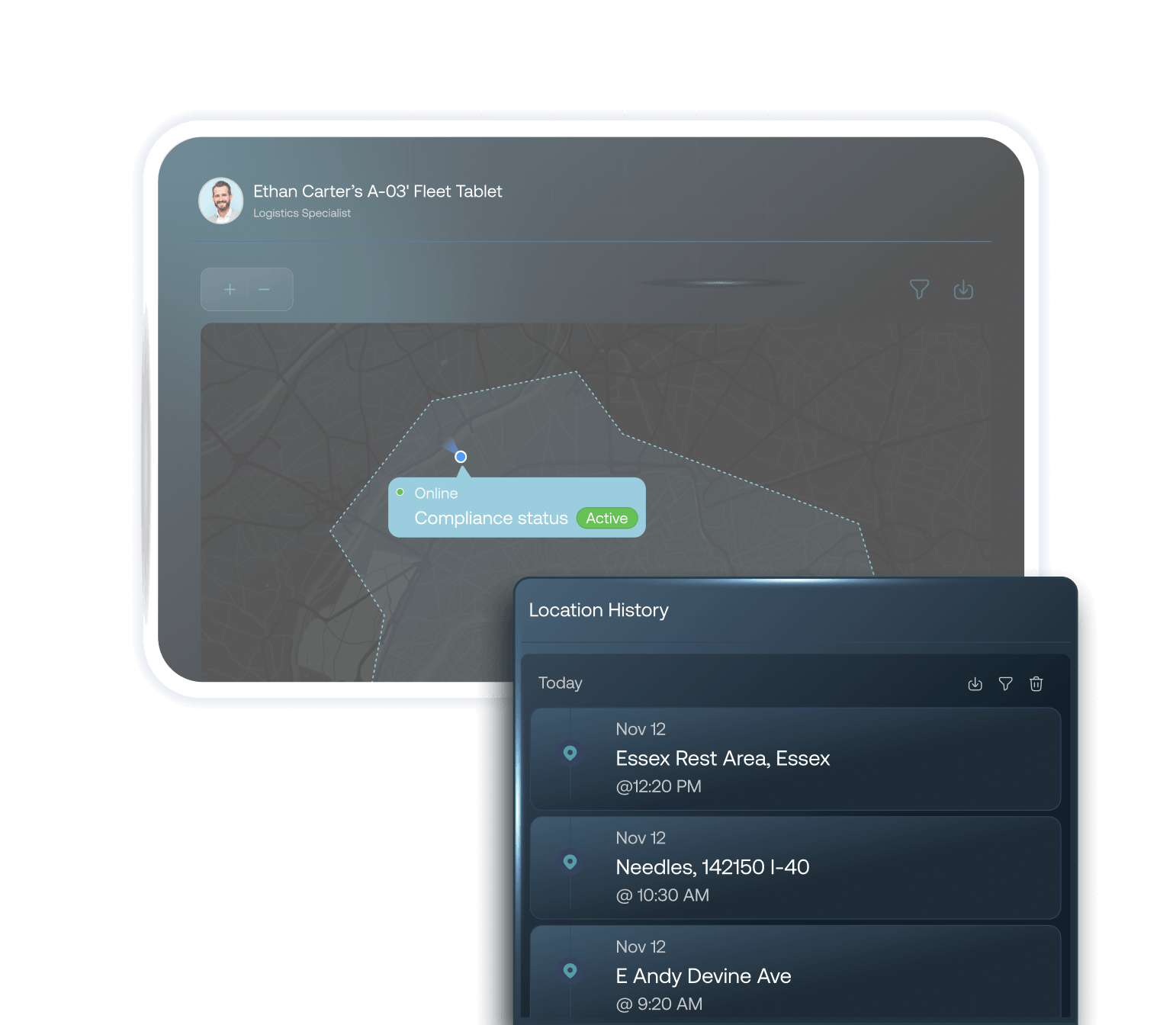
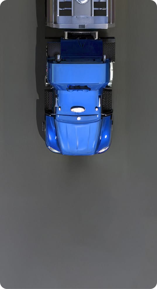
A 3D isometric map illustration featuring a blue cargo truck traveling along a designated route marked by a blue line and red location pins, accompanied by a 'Location History' UI card showing route details

정밀 추적. 선제적 방어. 감사 준비된 컴플라이언스.

Locate

위치 파악

사이트 내외에서 장치를 추적하고 위치를 파악하세요.

Protect

보호

위치와 행동을 기반으로 선제적 보안 조치를 설정하세요.

Comply

준수

위치 기록 보고서를 생성하고 항상 감사 준비 상태를 유지하세요.

Automate

자동화

과거 위치 데이터를 사용하여 스마트 정책과 자동화를 트리거하세요.

즉각적인 수정 및 장치 복구 를 위한 실시간 위치 인텔리전스

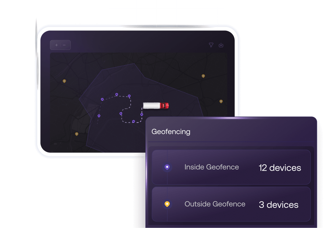
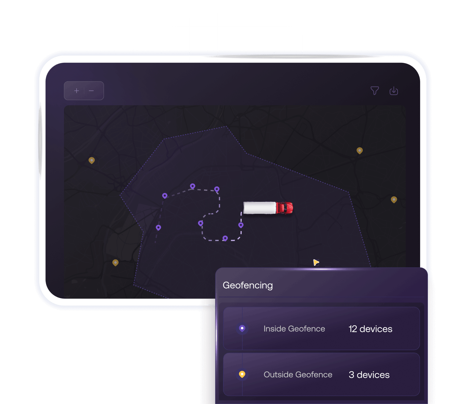
A dark mode dashboard interface displaying a map with a tracked vehicle and a 'Geofencing' widget highlighting active and in-transit device counts.

사용자 정의 가능한 데이터 동기화 간격으로 모든 플랫폼의 모든 장치에서 실시간 GPS 핑을 받으세요.

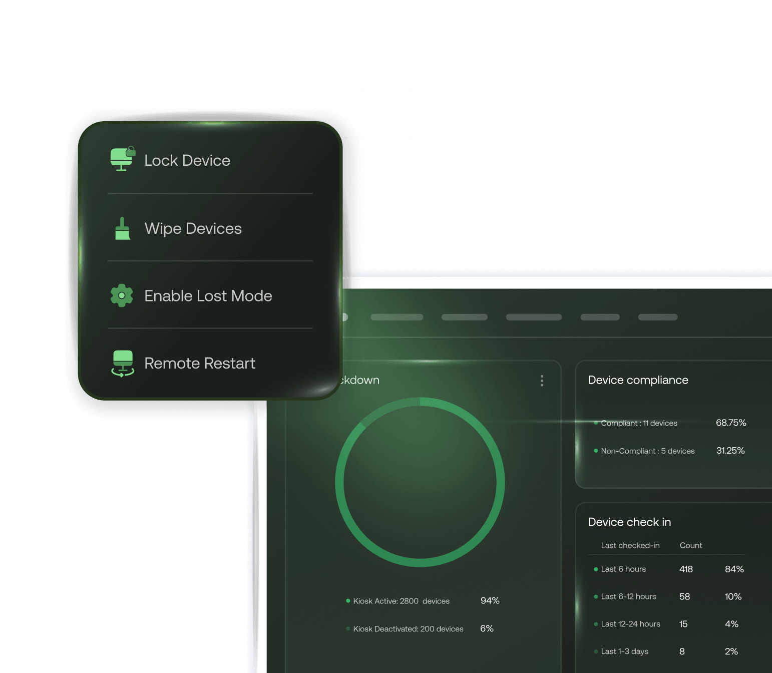
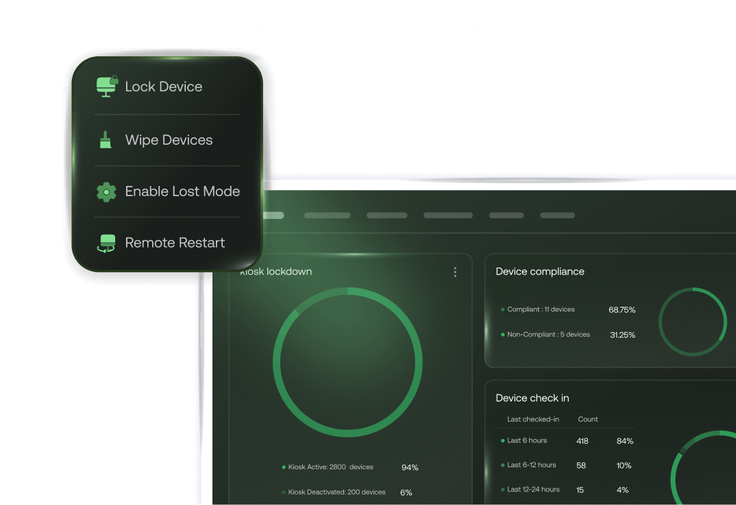
A dark mode UI highlighting a quick-action dropdown menu with security options to 'Lock device,' 'Wipe device,' 'Enable lost mode,' and 'Restart device' layered over a map with a green circular geofence.

비준수 또는 위반이 발생하면 장치를 자동으로 잠그거나, 초기화하거나, 분실 모드를 활성화하세요.

A dark mode dashboard showing a map interface with a 'Lost Mode Activated' alert and a detailed 'Location History' log panel listing coordinates and timestamps.

과거 브레드크럼 추적 경로를 통해 마지막으로 알려진 위치를 추적하여 분실된 장치를 찾으세요.

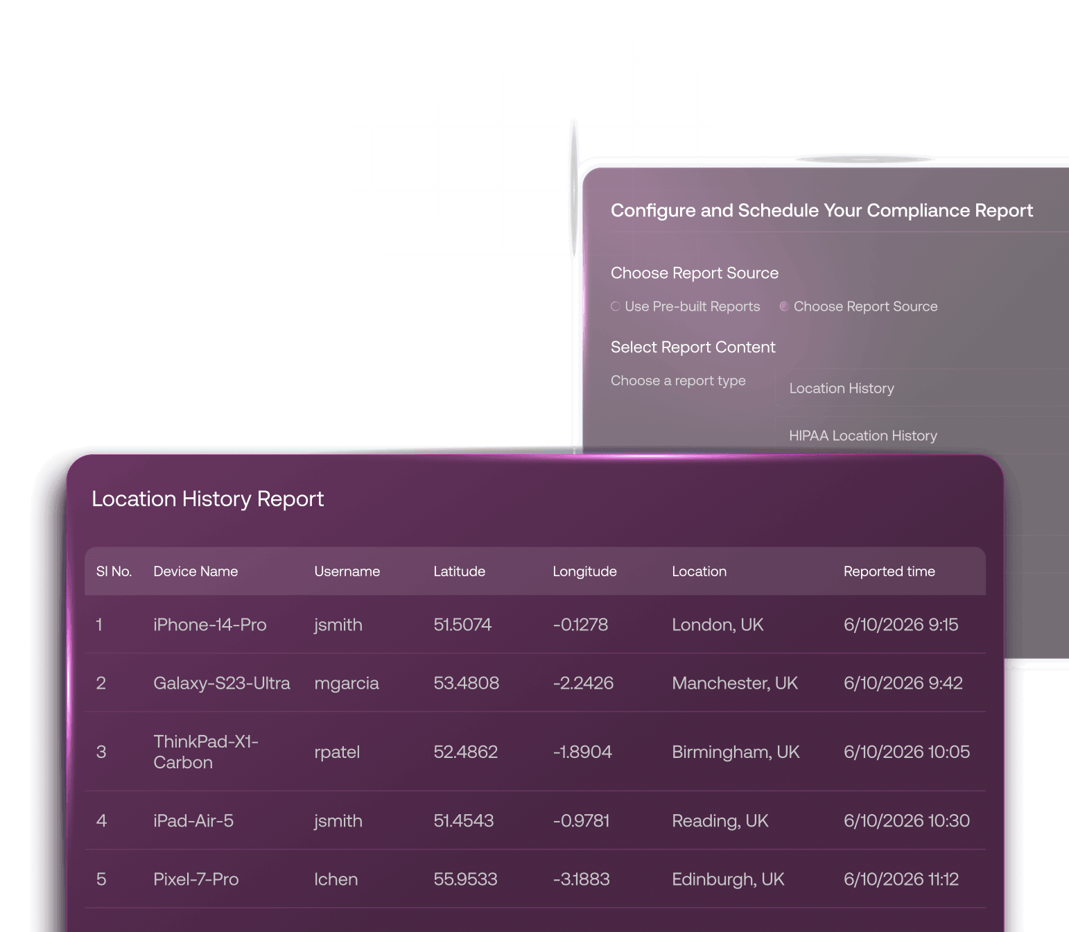
A dark mode interface displaying a comprehensive 'Location history report' table featuring columns for Device, Time, Coordinates, and Status.

규정 요건에 맞춰진 사용자 정의 및 사전 구축된 위치 기록 보고서를 예약하여 컴플라이언스 워크플로를 자동화하세요.

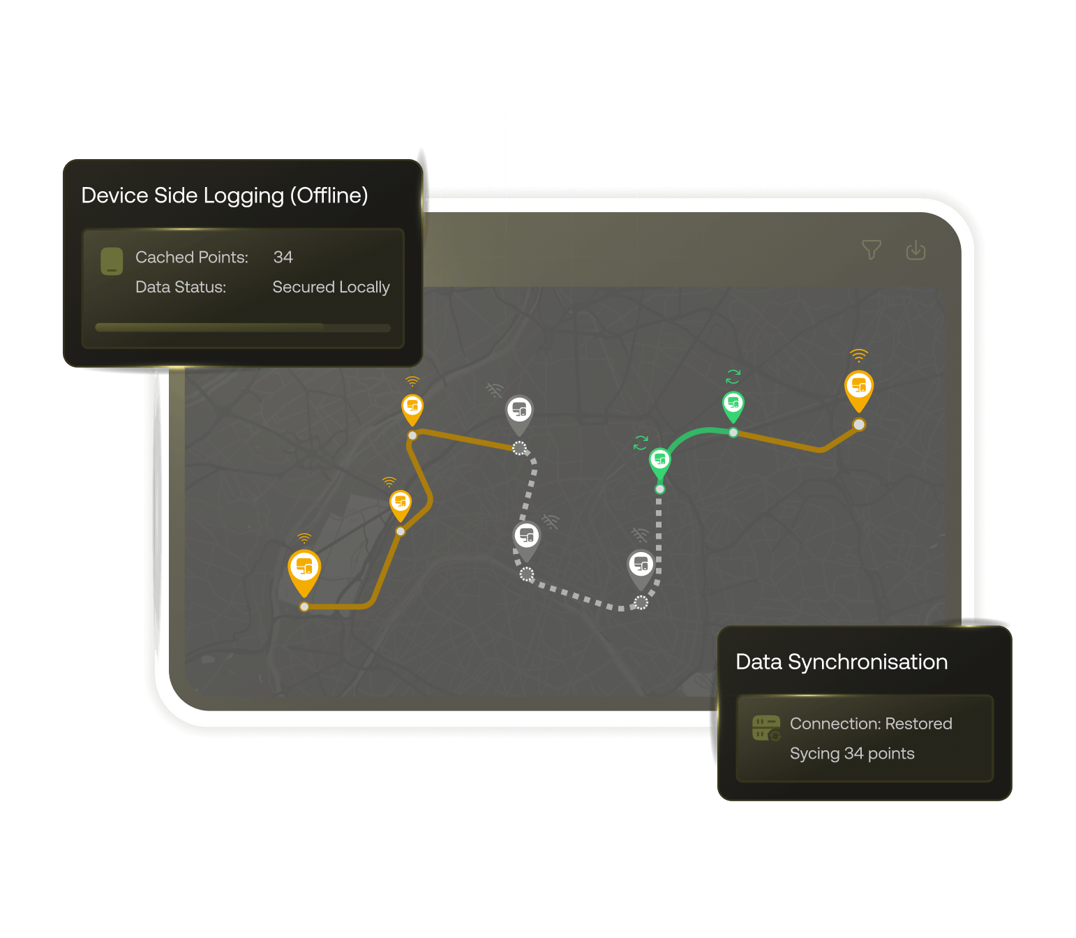
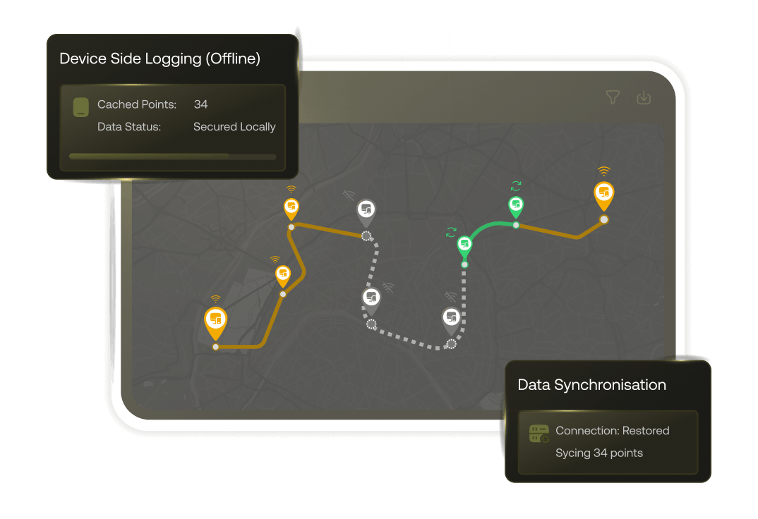
A dark mode map interface illustrating a device's route with yellow indicators showing where data was collected offline, accompanied by status pop-ups reading "Data Syncing Offline" and "Data Synced Online".

재연결 시 동기화되는 로컬 캐시 데이터를 통해 네트워크 중단 중에도 Android 플릿의 추적을 중단 없이 유지하세요.
강력한 위치 기반 보안, 보장됨.

위치 기반 제한

특정 사전 정의된 지오펜스를 기반으로 장치 권한을 트리거하거나 제한하는 동적 정책을 설정하세요.

A light mode UI card displaying a map with a custom polygonal geofence, drawn with yellow and red borders to define a specific restricted geographical area

중앙 집중식 플릿 가시성

Google Maps와 OpenStreetMap(OSM) 사이를 전환할 수 있는 유연성으로 단일 지도 보기에서 모든 엔드포인트를 추적하세요.

A light mode UI card showing a toggle switch that allows users to alternate between different map views, featuring icons for Google Maps and OpenStreetMap (OSM).

다양한 액세스 권한

기록 보고서를 예약할 때 액세스 제한을 설정하여 권한 있는 직원만 민감한 위치 데이터를 볼 수 있도록 하세요.

A light mode UI settings panel showing an 'Access Level' toggle set to Private, along with a list of authorized personnel and their roles.

보안 스냅샷

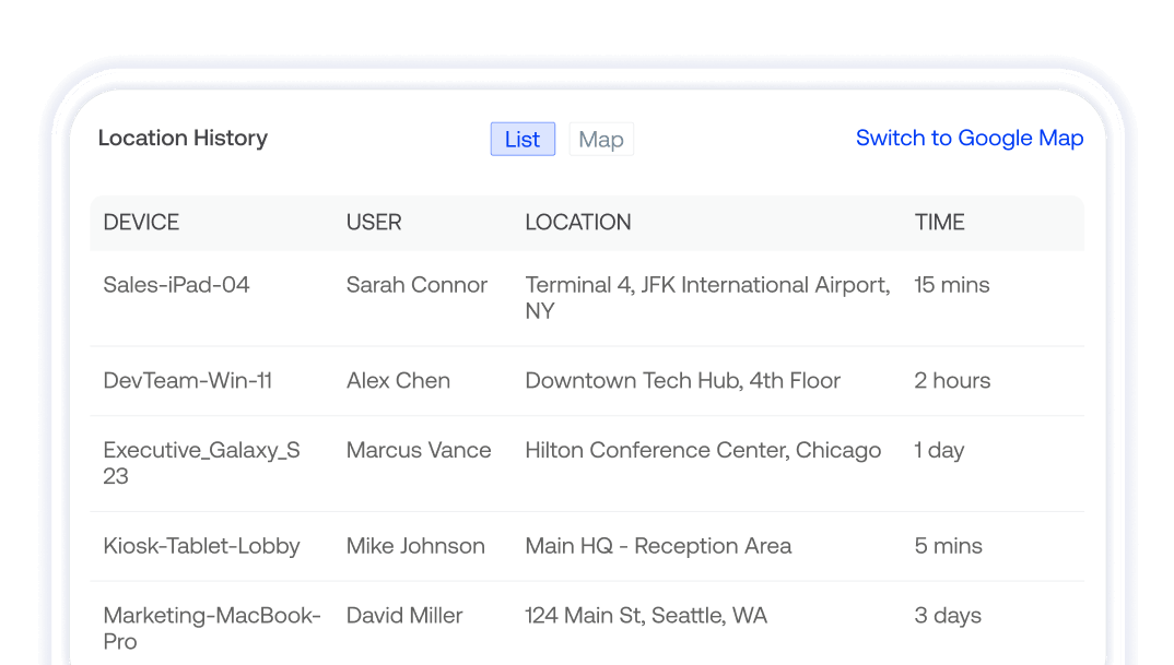
대시보드의 전용 위치 기록 위젯을 사용하여 장치 위치와 컴플라이언스에 대한 고수준 시각적 개요를 확인하세요.
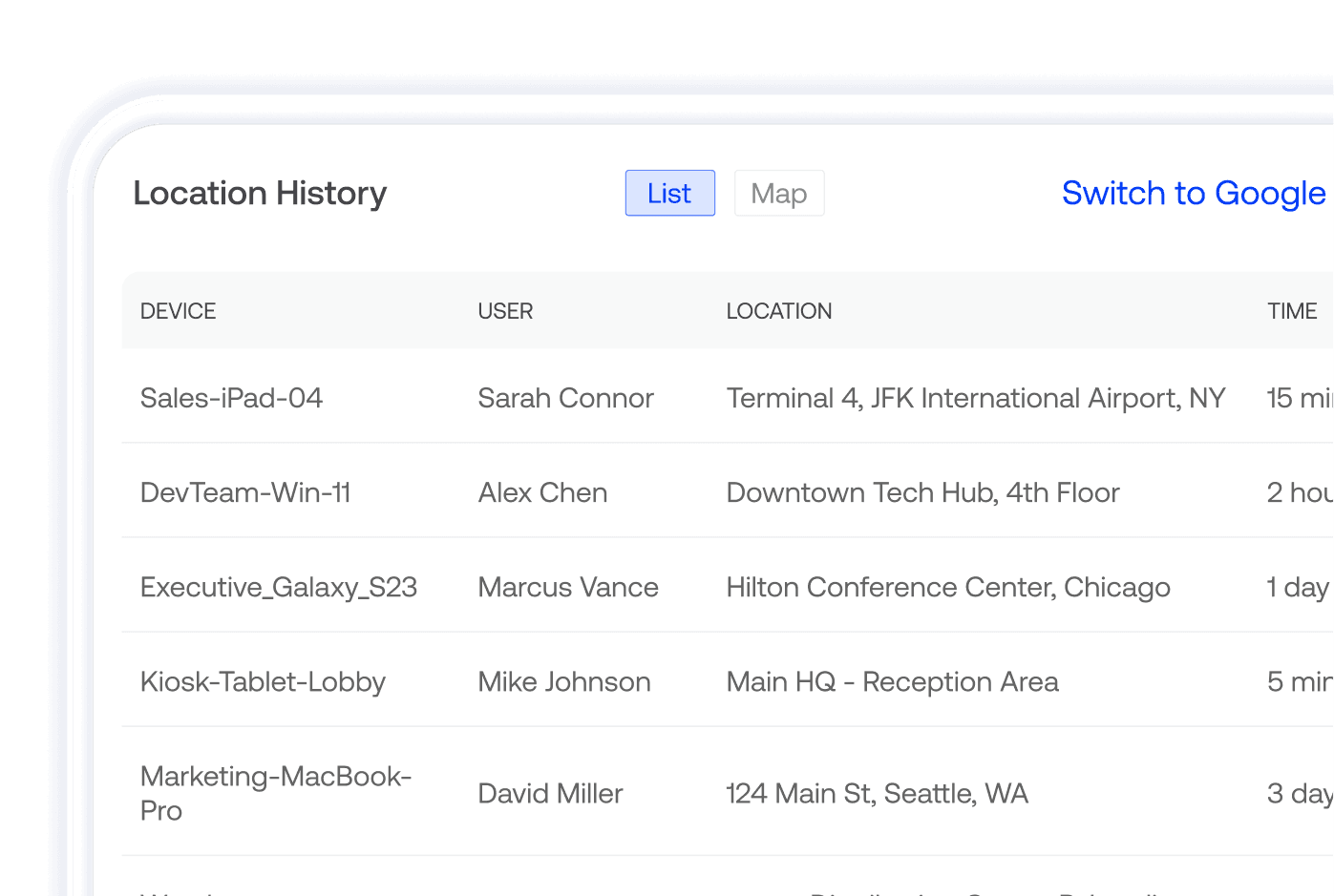
A light mode dashboard widget displaying a high-level tabular overview of device location history, whereabouts, and compliance logs.

전 세계 수많은 기업이 Hexnode를 선택한 이유를 확인하세요

Quotes

"Hexnode를 사용함으로써 생산성과 시간 절약이 크게 향상되었습니다. 실제로 장치를 배포하는 데 걸리는 시간이 줄었으며, 이전에는 약 20분이 걸렸지만 이제는 약 10분밖에 걸리지 않습니다."

Daira Natividad

Technology Solution Specialist

San Juan Texas logo
Quotes

...그리고 이후 모든 요건을 충족하는 Hexnode를 알게 되었습니다

데이비드 굿이어(David Goodyear)

정보 기술 관리자,

DoMyOwn logo
Poster image
Quotes
Quotes
Selywn foundation logo

Hexnode를 통한 기업 비용 절감 및 전반적인 생산성 향상에 관하여

Read more
Marriot logo
Merck logo
Costco logo
Lowes logo
Hilton logo
Wolt logo
Gorillas logo
Saic logo
Group1 logo
Polaris logo